Details of record no: 80117
Vigna luteola
Three blocks of information are displayed on this page, namely: (a) details of the record; (b) the record point plotted using Google Maps and (c) any images attached to the record. Please scroll down to see the various items.
Record details:
| Date: | 1 Jul 2017 |
| Recorder(s): | A Hull |
| Collector(s): | |
| Determiner(s): | A Hull |
| Confirmer(s): | |
| Herbarium: | |
| Habitat: | |
| Location: | In Zambezi river, opposite Nyamepi Camp, Mana Pools |
| Location code(s): | 59 |
| Outing code: | |
| Planted code: | Not planted |
| Country: | Zimbabwe |
| Quarter Degree Square: | 1529C2 |
| Grid reference: | |
| FZ divisions: | N |
| Altitude (metres): | 362 |
| Notes: | Same location as record 59189. |
| Latitude, Longitude: | -15.712865, 29.388018 |
| Location Accuracy Code: | 7 |
Map of species record
Maps only available to authorised usersImages:
Image: 1
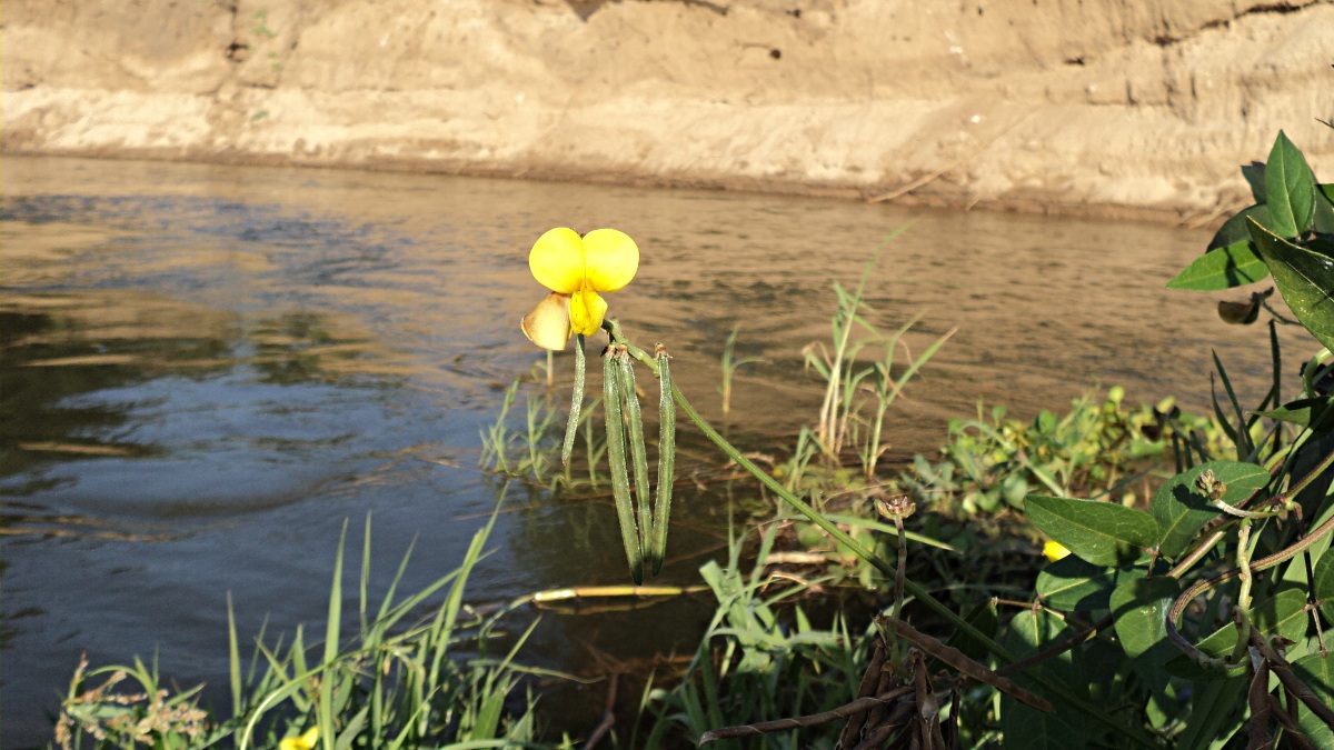
| Species id: | 132220 |
| Image id: | 1 |
| Image number: | 27715 |
| Photographer: | A Hull |
Image: 2
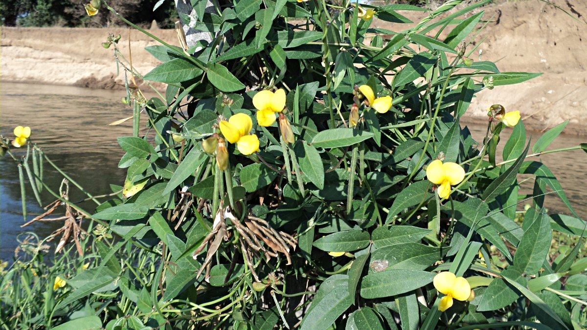
| Species id: | 132220 |
| Image id: | 2 |
| Image number: | 27716 |
| Photographer: | A Hull |
Image: 3
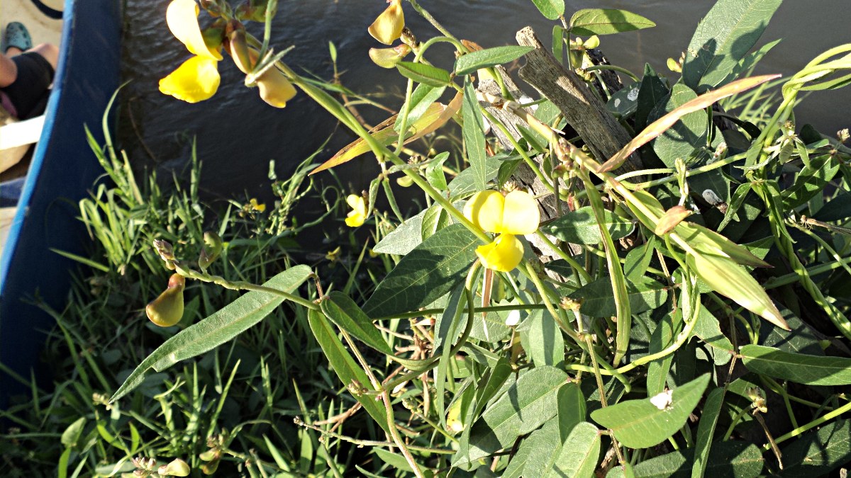
| Species id: | 132220 |
| Image id: | 3 |
| Image number: | 27717 |
| Photographer: | A Hull |